Martha's Vineyard Museum
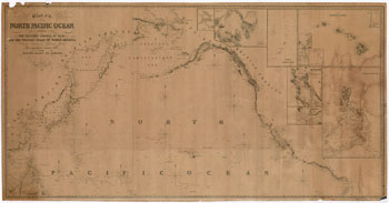
This navigation chart covers the North Atlantic, from the Equator to 65 degrees North Latitude and based on "latest surveys and observations" of the time, 1840. Near the shores of the continents water depths are noted.
JavaScript required access all features of this site. Use Browser Back to return.