Martha's Vineyard Museum
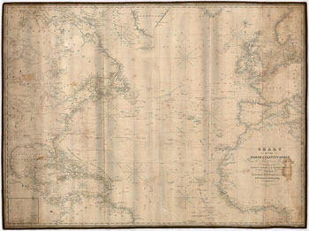
This navigation chart covers the North Atlantic Ocean, from the Equator to 65 degrees north latitude and was based on "latest surveys and observations" of the time, 1840. Water depths are noted near the shorelines. This chart also has handwritten lines showing the path of a whaling voyage. The Captain who used this chart marked the vessel's positions during the voyage and connected the positions with pencil lines. Zooming in on the image will reveal these details.
JavaScript required access all features of this site. Use Browser Back to return.