Unit 1: Whaling in Four Lessons

Lesson 1: World Geography: Making a Replica Map
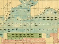
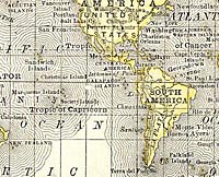
Using a world map of today and a historical whale chart from 1851, students will increase their understanding of world geography and demonstrate improved observation skills as they compare and contrast two kinds of maps. They will learn about whaling and the types of whales hunted during the golden age of whaling and create their own replica of a historic map.

Lesson 2: Artifact or Fiction?
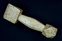
By viewing artifacts, students will connect directly with history. Students will discover that people living on Martha's Vineyard in the 19th century visited and explored all parts of the world as part of their livelihood. They returned to the island with gifts, tools and objects from faraway places. This activity is aimed at giving students an opportunity to carefully observe images of artifacts and then share what they know with their classmates in a fun way!

Lesson 3: Journals
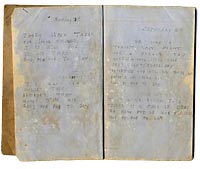
People have kept journals for many reasons over the years. They provide a window into the past and are one of the ways we have learned about times passed. In this activity children will read from a journal of young Laura Jernegan, who lived in Edgartown and traveled to the Pacific with her family on a whaleship. Students will learn about important features of a journal and keep their own for a period of time. They will contrast and compare their experiences of today with Laura's life aboard ship in 1868 using a Venn diagram.

Lesson 4: All Aboard! The Fictitious Journey
Students will create a chronological narrative as they embark on a fictitious journey around the globe. Students will become crew members on a whaling ship leaving New England in the 1800s. As part of their adventure, students will be assigned a geographical location that their ship visited. In pairs, students will create a journal entry that includes two or more important facts about the region studied. These journal entries will be compiled into one larger class journal, documenting the global travels of the fictitious ship.
Assessment
Assessment worksheet and a rubric for assessing student observations